 |

| • Home / Streets /Geographical | ||||||||||||||||||||||||||
 Geographical
Geographical names of streets reflect geographic peculiarities: direction, character of area, position, etc. A number of streets were named for their location in the city: Naberezhnaya (the Quay) Street, Pogranichnaya (Frontier) Street, Bug Street, Ingul Street, Slobodskiye (Outskirts) street, and Cemetery street.
Moskovskaya Street - This street began at the Moscow frontier post, a policemen post that controlled movement into and out of the city. The street led to the Ingul Downhill, a bridge and a road leading to the North, toward Moscow. In the 1920s the street was renamed Franko Street in honour of the Ukrainian writer I.Ya. Franko. Recently the original name, "Moskovskaya" has come back into use. Chernigovskaya (Chernigov) Street (now Carl Liebknecht Street) - also led to the Ingul Downhill, in the direction of Chernigov and Moscow. In the 1920s, this street was renamed Sholom Aleichem Street (in honor of the Jewish writer) and in recognition of the Old Synagogue (built in 1840 and still standing) and several other Jewish prayer houses are situated there. After the Second World War the original name of the street was returned, but in the 1970s it was renamed again, Carl Liebknecht Street (in honor of the German revolutionary). Privoznaya (Carrying) Street (now Dunayev Street). . In 1822, then police chief P.I. Fedorov offered to name this street Rybnaya (Fish) Street because of the many temporary fish markets there. But that name did not become official until 1835, when it was applied to a neighboring street instead. This street came to be called Privoznaya (Carrying) Street because it ran through a market to which people from surrounding villages came. After the Second World War the street was renamed Dunayev Street to honor the war hero General S.I. Dunayev, who took part in the city's liberation. Sennaya (Hay) Street (now Budionogo Street). . This street was named for the state hay warehouses that, at an earlier time, were located there. After the Second World War, the street was renamed to honor of Marshall C.M. Budionov, a Soviet commander and hero of the Civil War. Rozhdestvenskaya (Christmas) Street (now Liagina Street). . The Cathedral of Christ's Birth and the Blessed Virgin (the Old Merchants Church) at the entrance to this street provided the original name. The modern name, Liagina, was chosen to honor the Second World War V.A. Liagin, who lived in this street.
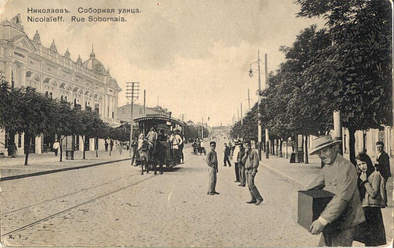
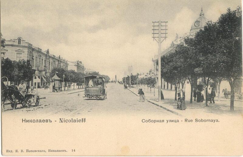
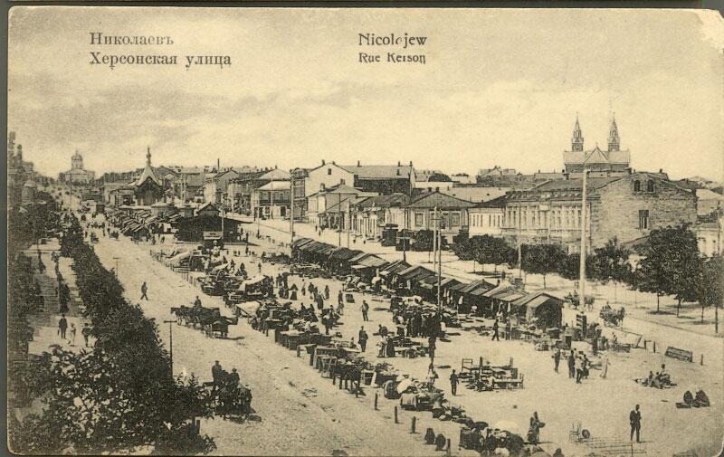
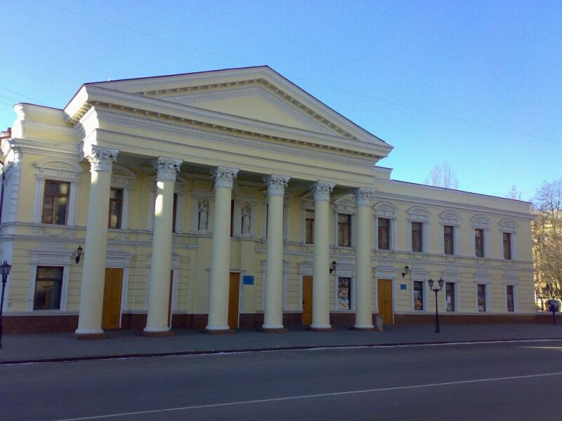
Kupecheskaya (Merchant) Street (now Potemkinskaya (Potemkin) Street) - also got its name from the Cathedral of Christ's Birth and the Blessed Virgin, but from the alternate name, Old Merchants Church. In 1890 the City Council marked Nikolaev's one hundredth anniversary by renaming the street Potemkinskaya (Potemkin) Street. In the 1920s, after the October revolution, it was renamed again, Plekhanovskaya (Plekhanov), to honor revolutionist and Marxist G.V. Plekhanov. On the two hundredth anniversary of the city, in 1989, the original reinstated to commemorate the city founder Knyazh G.A. Potemkin-Tavricheskyy. Spasskaya Street led to the Spassk Hill where the astronomical observatory is now situated and to the Spassk Stow, a country park of the Navy, where the Summer Navy Assembly building was located. Black Sea Navy vessels remained off Spas Harbor to stock up on water and provisions. There were many beautiful buildings such as banks, authority buildings, houses of merchants, in Spasskaya (Spas) Street. After the October revolution, the street was renamed Sverdlov Street to honor V.I. Lenin's comrade-in-arms Ya.M. Sverdlod. Unfortunately, after the Second World War a new building in the hairpin turn of the street divided it into unequal parts and broke its historical connection to the Spassk. The portion of the street from the astronomical observatory to the turn was renamed Observatornaya (Observatory) Street. Later, in 1996, the Sverdlov named was dropped and the Spasskaya was reinstituted. Kherson Street (now Lenin Prospect) - was first named in 1835 as part of the street naming plan of the police chief G.G. Avtonomov. The street stretched from Spassk Hill to the terminus of the Kherson road. The street name honored the town and port of Kherson, the first shipbuilding centre on the Black Sea. In 1869, the Church of Simeon and Agrippa (generally known as The Church of Simeon) was constructed at the beginning of Kherson Street. In the 1920s the street was renamed Pervomayskaya (The First of May) Street commemorate the Day of Unity of the Laboring class. In the 1930s, remnants of a ground fortress pre-dating the creation of the city of Nikolaev were found in this street. After the Second World War, in 1960, the street was renamed Lenin Prospect to honor V.I. Lenin. It remains Nikolaev's longest (7 kilometers), straightest, and widest street.
Print page » |
||||||||||||||||||||||||||