 |

| • Home / Rivers and Bridges | ||||||||||||||
 Rivers and Bridges
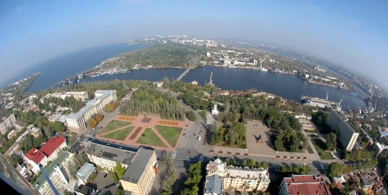
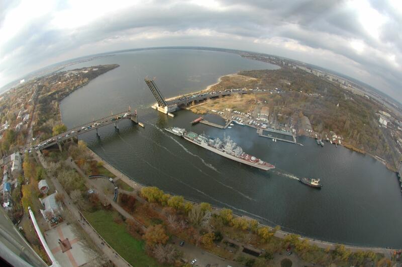
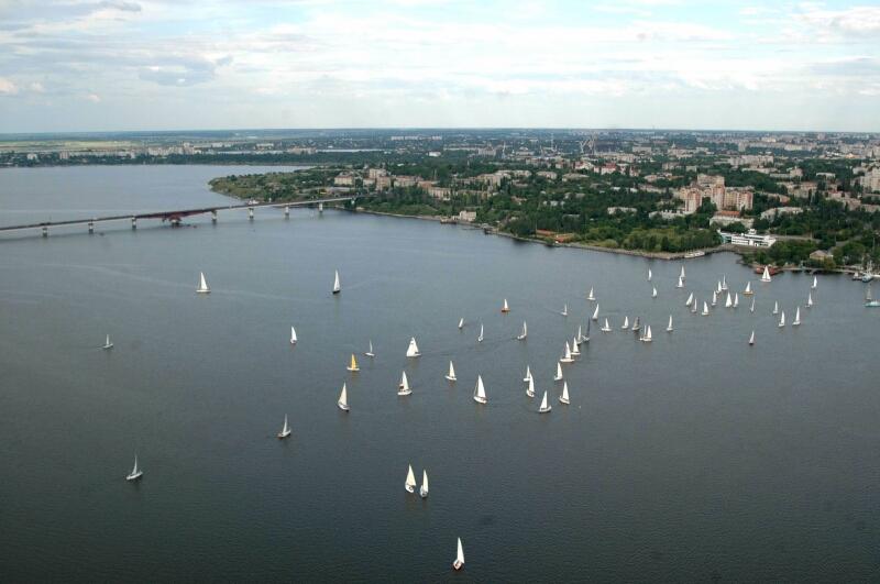
 Mykolayiv is defined by the rivers that flow around it. The rivers are the reason for the city, and they provide its strength.
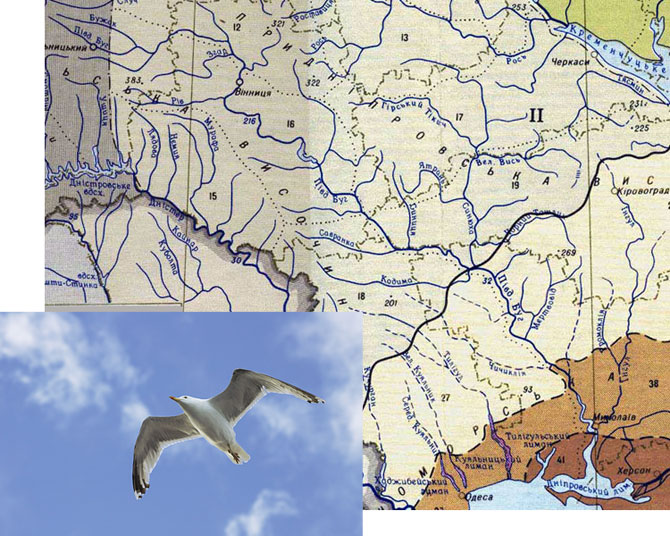
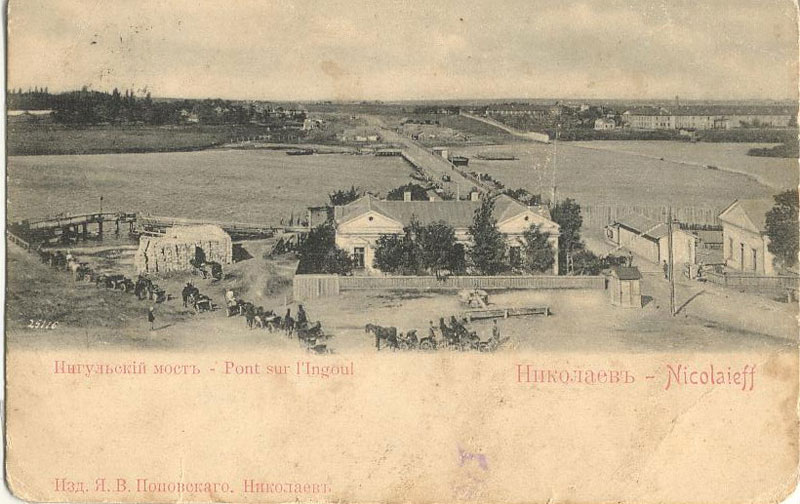
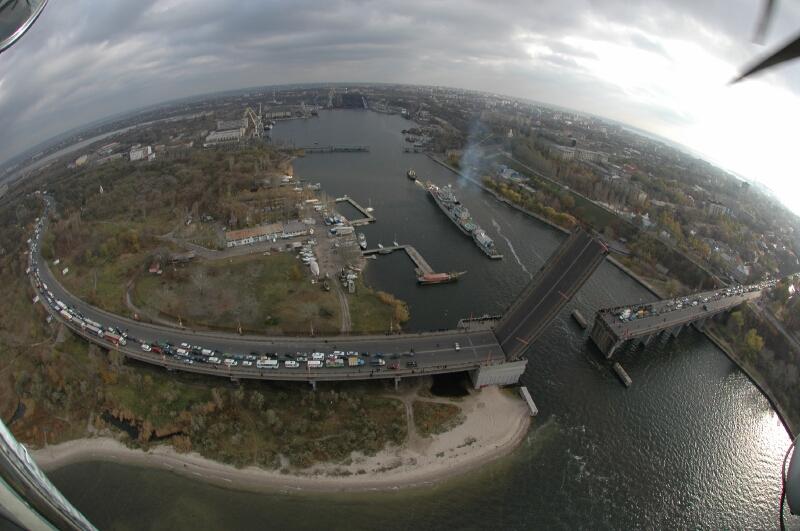
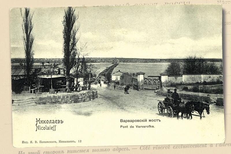
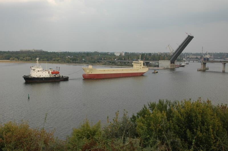
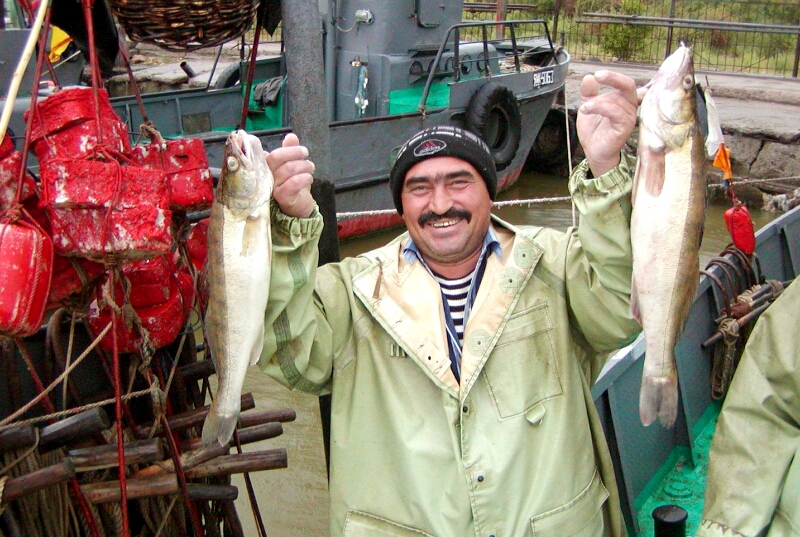
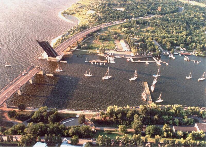
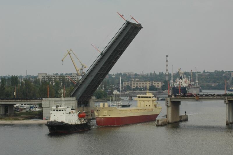
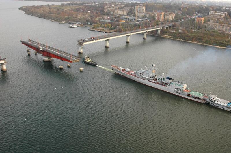
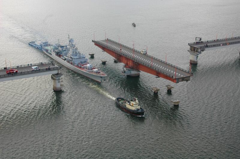
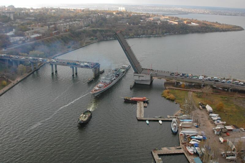
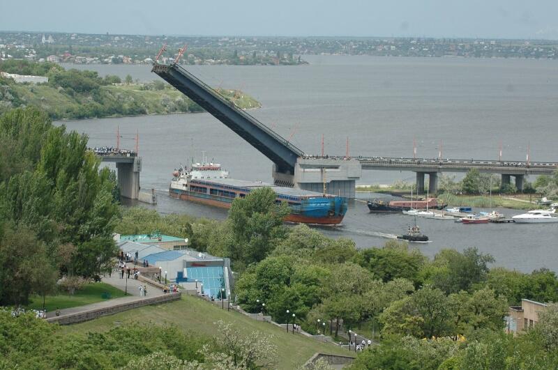
The Yuzhnyy Bug begins in Podillya and passes through the regions of Vinnitsya, Khmel'nyts'kyy, and Kirivograd as it flows 853 kilometers to Mikolayiv. The ancient Greek name for the Yuznyy Bug was Gipanis or Ipanis. It is possible that the name Bug originated from the word for "God". The Ingul River begins in the Kirovograd region. It is 354 kilometers long. The name comes from the Tatar word "Enigyol," which means "new lake". That name was probably applied because the Ingul, at one point, is so wide that it appears to be a lake. Bugskiy Liman- is a Black Sea Gulf in the Uzhnyy Bug estuary that was created through the erosion of the River Banks. Commercial quantities of more than 50 species of fish live in the rivers around Mikolayiv. Today, Mykolayiv's rivers are crossed by three bridges, two for automotive traffic and one for pedestrians.
A bridge is a construction over a river to provide crossing from one bank to the other.
Print page » |